
Laura Weiwu
Assistant Professor
Haas School of Business
UC Berkeley
2220 Piedmont Ave
Berkeley, CA 94720
[[lauraww@berkeley.edu||mailto:lauraww@berkeley.edu]]
Interstate Highways and Historical Roads
Maps:
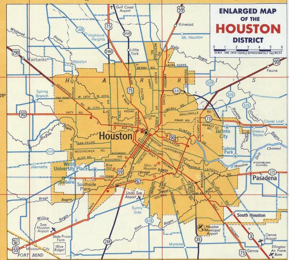
The historical roads were digitized from Shell Atlases in 1951 and 1956, hosted by the David Rumsey Historical Map Collection. This shapefile was constructed by re-aligning modern roads (non-Interstates) to be consistent with the historical maps. 71 CBSAs are included in the shapefile (noted in the file List of CBSAs).
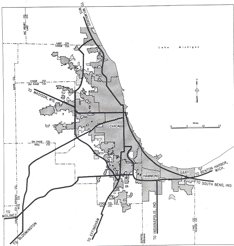
The planned Interstate Highways were digitized from the Yellow Book (General Location of National System of Interstate Highways) maps in 1955. 96 CBSAs are included in the shapefile (noted in the file List of CBSAs). 100 cities have corresponding Yellow Book maps, but some (such as Dallas and Fort Worth) are within the same CBSA.
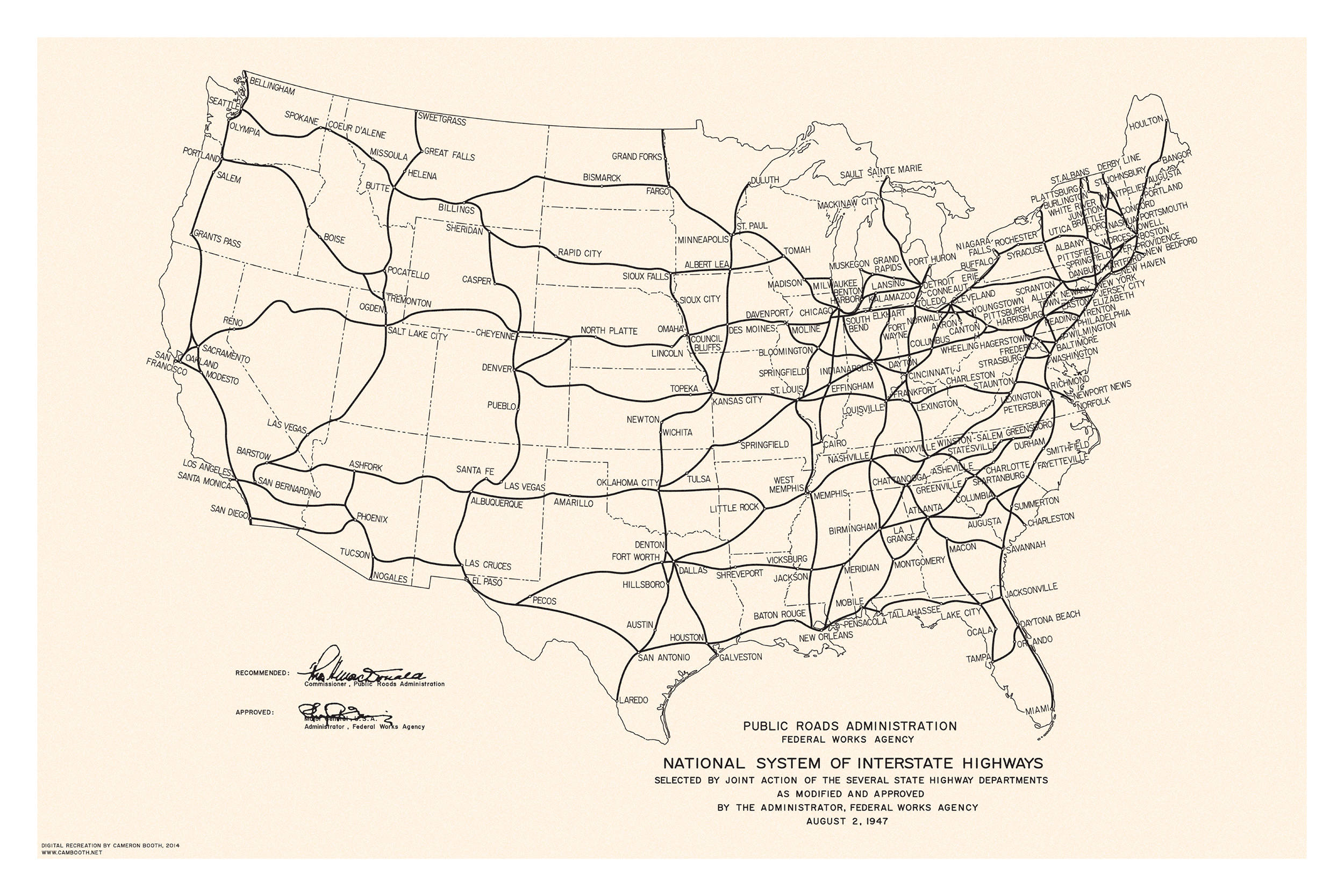
The national Interstate highway plan was digitized from a Public Roads Administration map in 1947. The Yellow Book maps are combined with the 1947 national plan in the shapefile, so this dataset spans the entire country rather than only the 96 CBSAs in the Yellow Book maps.
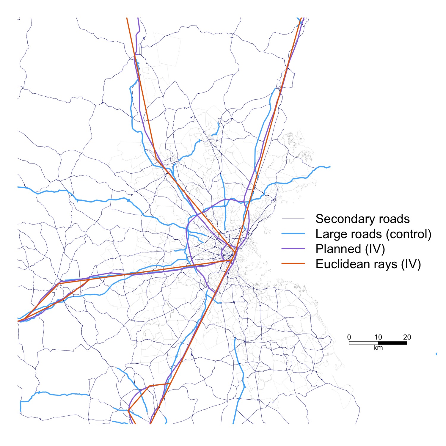
The rays follow the Yellow Book maps and connect intermediate cities/towns along the plans using straight-line rays. 96 CBSAs are included in the shapefile (noted in the file List of CBSAs).